Hiking
There are so many trails in the Burlington area that you could spend days exploring them all. The main hiking trails (a total of over 130 km) are featured below.
Hiking Trails
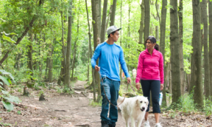
From hiking the majestic Niagara Escarpment cliffs of several Conservation areas to enjoying Lake Ontario views along the Waterfront and Trans Canada Trail, there are trails for all levels of hikers in Burlington. There are also multi-use pathways located throughout the city that are used by hikers, cyclists, joggers, skateboarders etc.
Safety
There are some risks associated with hiking on trails through natural areas. Many trails follow cliff edges and shorelines of creeks and lakes with no barriers from steep slopes or water. Trail surfaces can also be slippery when wet or icy. High winds can make hiking unsafe so trails may close during times of high winds. Wearing appropriate footwear, exercising caution in hazardous areas and watching children carefully will help make your hiking adventure safe and enjoyable.
Conservation Halton Trails
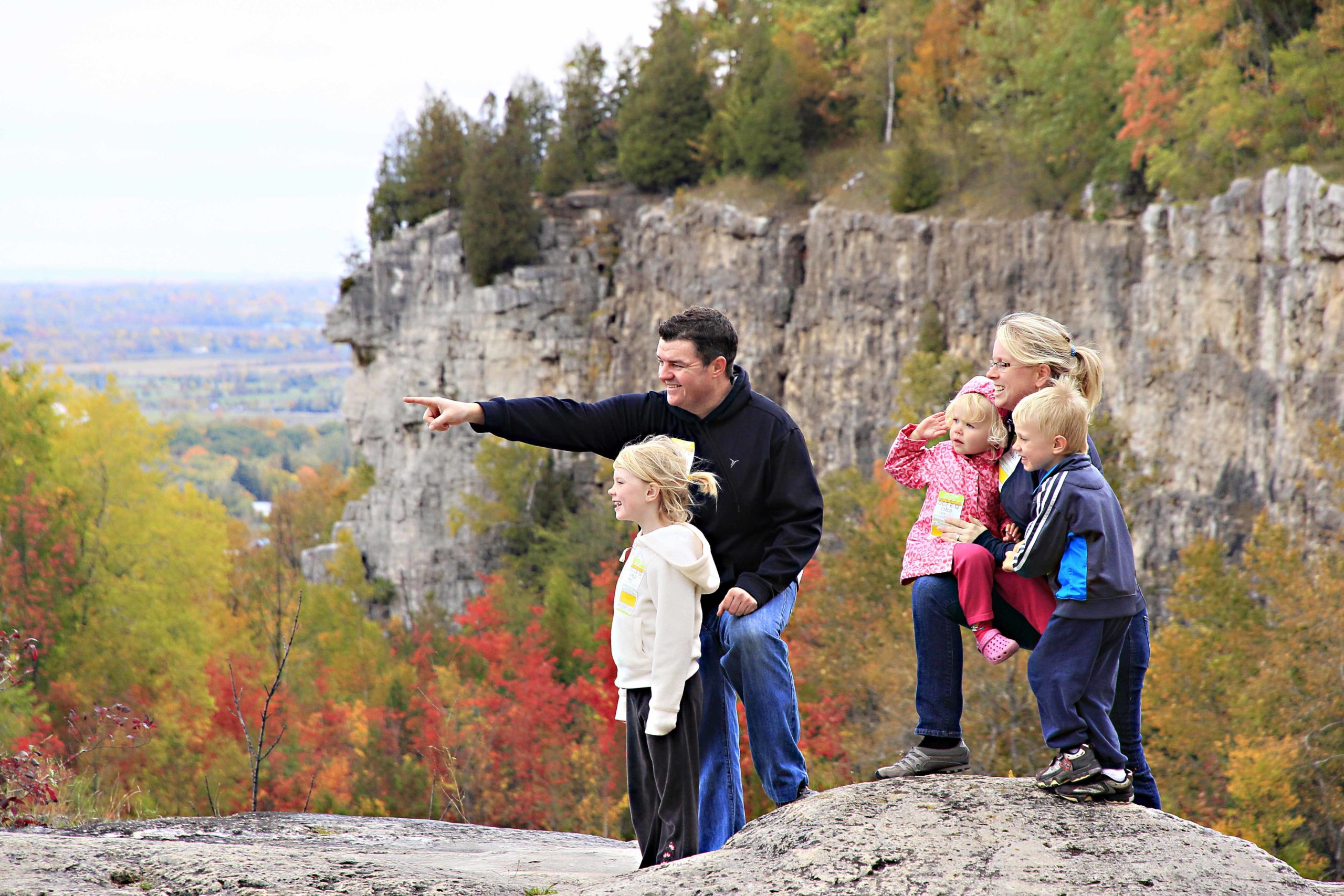
Bruce Trail
The Bruce Trail is a public footpath running from Niagara to Tobermory. It is entirely built and maintained by volunteers for the purpose of protecting the Niagara Escarpment, the most significant landform in southern Ontario. Burlington is part of the Bruce Trail Iroquoia Section from Grimsby to Milton.
This section of the trail begins with the ancient shoreline of Lake Iroquois. Waterfalls of all sizes are abundant in this section and include Albion, Tiffany, Sherman, Webster’s, and Tew’s Falls. The trail passes through Crawford Lake Conservation Area which contains a rare meromictic lake and a reconstructed 15th-century Iroquoian Village. The Bruce Trail Conservancy continues to open new Friendship Trails with organizations around the world. These trails are a mark of friendship and international cooperation between the two organizations.
FREE ADMISSION
Iroquoia Trail Hikes:
- Crawford Lake Conservation Area Trails – 0.75 or 3.2 km (see also below)
- Mt Nemo Conservation Area loop – 4.6 km (see also below)
- Kerncliff Park & Ian Reid Side Trail – 1.4 km
- Ray Lowes Side Trail -4 km
Bronte Creek Provincial Park Trails
Located along the scenic Bronte Creek and valley this provincial park has a number of trails for various hiking abilities. There is an admission fee to enter the park.
Mice, Men and Maiden’s Blush – 1 km (45 minutes) easy, barrier-free
This trail travels over paved surfaces travelling through the historic, previously logged Burkholder woods. The trail winds through areas of pond life, forest regeneration and swamp habitat. This area is home to many bird, plant and tree species. Visitors can also enjoy rollerblading along this trail (novice 1/2 hour).
Half Moon Valley – 2 km (1 hour) easy – not barrier-free
This double-looped trail takes the visitor down into Bronte Creek valley and through a sensitive wetland habitat. The trail is primarily gravel and boardwalk with staircases at some steep sections. From the lookout platform, you can see the creek 80 feet below! Audio Trail Guide available.
Trillium Trail –1km (45 minutes) easy, barrier-free
This trail is known for its abundance of spring wildflowers. It is especially spectacular when the Trilliums are in bloom.
Logging Trail – 0.6 km return (15 minutes) easy, barrier-free
Passing through a beech/maple woodlot, it is home to many spring and mid-summer wildflowers.
Ravine Trail – 2.7 km (1 hour 30 minutes) easy, barrier-free
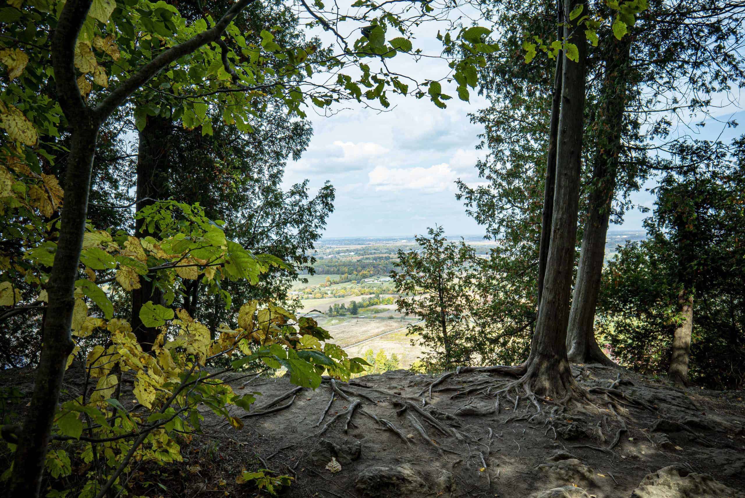
The longest trail in the park cuts alongside the ravine from the north to the south end of the park. Take in all of the forest habitats of Bronte while walking through a dense coniferous forest to a scenic ravine lookout point (a must-see in the fall).
Leash Free Path – 1 km (30 minutes) easy, barrier-free
Let your dog run! Your dog will enjoy running through the tall grass or exploring what is behind the next tree. Enjoy, but remember to stoop and scoop.
Royal Botanical Gardens Trails
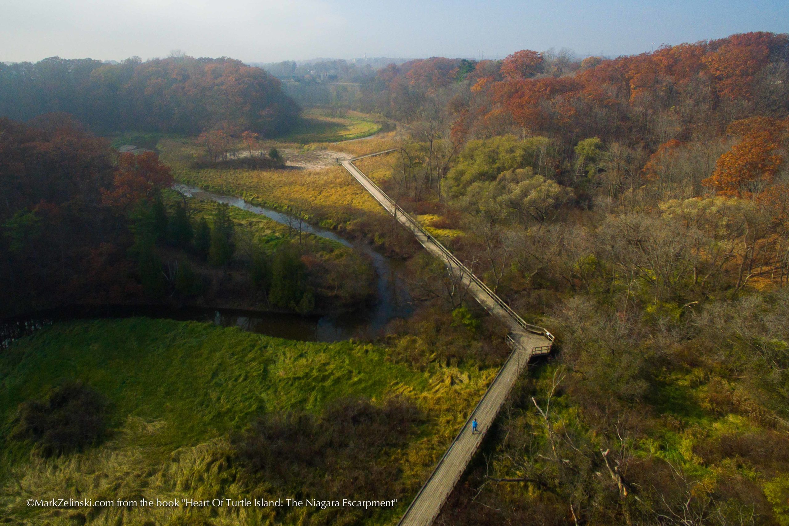
Four nature sanctuaries blanket 90% of the Gardens’ 900 hectares of property in a diverse mix of escarpment, forests, fields and wetlands. These wrap around the western tip of Lake Ontario, forming a nodal park in the Niagara Escarpment World Biosphere Reserve. Explore the wilder side of the Gardens on more than 27 kilometres of scenic walking trails. There are four main trailhead locations, Princess Point, the Arboretum, Cherry Hill Gate, and Rock Chapel, as well as two canoe launch sites (Princess Point & Valley Inn). The thirty trails include over 20 lookouts, 7 boardwalks, and 21 stream crossings, and link to multiple other regional trails. Please note that there is an admission fee.
Hiking tools
Cootes Paradise
The largest and most diverse sanctuary at over 600 hectares and including old-growth forest areas. Established in 1927 for its significance as a migratory bird stopover, the area features a 320-hectare river mouth marsh, glacial plateaus, 16 creeks and 25 km of shoreline. Major access points are Princess Point (Longwood Rd.) and the Arboretum (Old Guelph Rd.).
Hendrie Valley
A smaller scale version of Cootes Paradise, the 100-hectare Grindstone Creek Valley stretches to the end of Carroll’s Bay and contains the finest collection of floodplain wetlands on western Lake Ontario. The area features slopes forested with old-growth trees, a 60-hectare river mouth marsh complex, and 4 creeks. Major access points are along Plains Rd. and include RBG Centre and Cherry Hill Gate.
Escarpment Properties
The Garden’s 110 hectares of Niagara Escarpment World Biosphere Reserve is represented here by several properties forming a 3 km ribbon along the edge. The Gardens’ properties seem larger than 110 hectares as Rock Chapel and Berry Tract are linked with those of the Conservation Authority and Hamilton Naturalist Club. The Bruce Trail is the predominant visitor feature here and connects to Cootes Paradise through the Ray Lowes Side Trail. The main visitor access is on Rock Chapel Rd.